Book Title: Laboratory Manual for Introduction to Physical Geography – Second Edition
Edited by Saoirse MacKinnon and Chani Welch
Download this book
Book Description: This lab manual is a cross-institutional project from British Columbia (BC), Canada that provides 24 labs to be implemented within first year post-secondary physical geography courses. The labs have been developed to be easily adapted for various course structures, durations, and differing laboratory learning objectives set out by instructors. Instructor notes are available for each lab that outline the instructional intent of the lab author, along with some suggestions for modifications. The lab manual is licenced under a creative common license (refer to licensing information) so that the lab modules can be modified as needed. The second edition of this lab manual was created for the onset of the 2021/22 academic year.
Contents
Book Information
Book Description
Physical geography lab exercises tend to be crafted for internal institutional use only. In light of the need to have online laboratory material for remote instruction, a group of geography instructors from across British Columbia (BC), Canada came together for this collaborative project with the goal of producing a cross-institutional open education resource (OER) laboratory manual for first-year post-secondary physical geography courses. The lab manual consists of 24 labs that cover an introduction to physical geography, weather and climate, biogeography, map and geospatial skills, hydrology, geomorphology, and landform identification. Many of the labs have a BC setting; however, they are useable across Canada and further abroad. The majority of the labs have been developed so that they can be done in any order to increase instructor flexibility and promote adaptability to differing course structures and durations. Many of the labs have students using live data, or built-in flexibility with datasets for instructors in order to prevent the lab exercises becoming static over time. The lab manual is licenced under a creative common license (refer to licensing information) so that the lab modules can be modified as needed by instructors to meet the learning outcomes of their students.
The second edition of this lab manual was created in the spring and summer of 2021 for the 2021/22 academic year and beyond. The second edition features substantial revisions to the labs and instructor notes for consistency and effectiveness, a reordering of the lab numbers, and two new labs (lab 07 and 19).
Book Source
This book was cloned from a source that is no longer available. The source URL was https://pressbooks.bccampus.ca/geoglabs2020. This book may differ from the original.
License

Laboratory Manual for Introduction to Physical Geography - Second Edition Copyright © 2021 by Saoirse MacKinnon; Chani Welch; Katie Burles; Crystal Huscroft; Nina Hewitt; Gillian Krezoski; Andrew Perkins; Leonard Tang; Terence Day; Craig Nichol; Todd Redding; Allison Lutz; Ian Saunders; and Fes de Scally is licensed under a Creative Commons Attribution-NonCommercial-ShareAlike 4.0 International License, except where otherwise noted.
Subject
Geography
Metadata
-
Laboratory Manual for Introduction to Physical Geography - Second Edition Copyright © 2021 by Saoirse MacKinnon; Chani Welch; Katie Burles; Crystal Huscroft; Nina Hewitt; Gillian Krezoski; Andrew Perkins; Leonard Tang; Terence Day; Craig Nichol; Todd Redding; Allison Lutz; Ian Saunders; and Fes de Scally is licensed under a Creative Commons Attribution-NonCommercial-ShareAlike 4.0 International License, except where otherwise noted.
© 2021 Saoirse MacKinnon; Chani Welch; Katie Burles; Crystal Huscroft; Nina Hewitt; Gillian Krezoski; Andrew Perkins; Leonard Tang; Terence Day; Craig Nichol; Todd Redding; Allison Lutz; Ian Saunders; and Fes de Scally
The CC licence permits you to retain, reuse, copy, redistribute, and revise this book—in whole or in part—for free providing the author is attributed as follows:
Laboratory Manual for Introduction to Physical Geology, Second Edition by Saoirse MacKinnon; Chani Welch; Katie Burles; Crystal Huscroft; Nina Hewitt; Gillian Krezoski; Andrew Perkins; Leonard Tang; Terence Day; Craig Nichol; Todd Redding; Allison Lutz; Ian Saunders; and Fes de Scally is licensed under a CC BY-NC-SA 4.0 licence.You are free to:
- Share — copy and redistribute the material in any medium or format
- Adapt — remix, transform, and build upon the material for any purpose, even commercially.
The licensor cannot revoke these freedoms as long as you follow these license terms:
- Attribution — You must give appropriate credit, provide a link to the license, and indicate if changes were made. You may do so in any reasonable manner, but not in any way that suggests the licensor endorses you or your use.
- NonCommercial — You may not use the material for commercial purposes.
- ShareAlike — If you remix, transform, or build upon the material, you must distribute your contributions under the same license as the original.
No additional restrictions — You may not apply legal terms or technological measures that legally restrict others from doing anything the license permits.
If you redistribute all or part of this book, it is recommended the following statement be added to the copyright page so readers can access the original book at no cost:
Download for free from the B.C. Open Collection.Sample APA-style citation (7th Edition):
MacKinnon, S., Welch, C., Burles, K., Huscroft, C., Hewitt, N., Krezoski, G., Perkins, A., Tang, L., Day, T., Nichol, C., Redding, T., Lutz, A., Saunders, I., & de Scally, F. (2021). Laboratory manual for introduction to physical geology (2nd ed.). (S. MacKinnon & C. Welch, Eds.). BCcampus. https://opentextbc.ca/geoglabmanualv2/
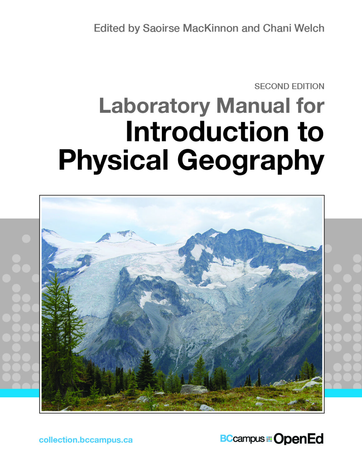
Cover image attribution:
The cover photo is of Horseshoe Glacier by Katie Burles and licensed under a CC BY-NC-SA 4.0 licence.Ebook ISBN: 978-1-77420-209-8
Print ISBN: 978-1-77420-208-1
Visit BCcampus Open Education to learn about open education in British Columbia.
Image Attributions
This text uses many images that are not covered by the CC BY-NC-SA licence. Some are included under specific licences, and others with permission from the author. Do not use these images unless permission is granted by the author or you meet the conditions of their licenses.
- Government of Canada (See Terms and Conditions)
- Figure 3.2 Surface Analysis Map © Environment Canada
- Figure 4.1 Surface Analysis Map © Environment Canada
- Figure 10.3a Gleysol © Agriculture and Agri-Food Canada
- Figure 10.10 Soil pit in an organic soil from BC © Soil Classification Working Group
- Figure 10.11 Podzolic soil from Quebec on sandy parent materials © Soil Classification Working Group
- Figure 14.1. NTS 1:50,000 map sheet 82E14 (Kelowna) 4th edition © Natural Resources Canada
- Figure 14.5 Scale from NTS 1:50,000 map sheet 82N05 (Glacier) 3rd edition © Natural Resources Canada
- Figure 14.9 Grid Zone Designation from NTS 1:50,000 map sheet 82E14 (Kelowna) 4th edition © Natural Resources Canada
- Figure 15.4a. NTS 1:50,000 map sheet 92B06 (Victoria) 6th edition © Natural Resources Canada
- Figure 15.4b NTS map sheet 01N10 St. John’s, NL, 8th edition © Natural Resources Canada
- Figure 15.5. NTS 1:50,000 map sheet 82N05 (Glacier) 3rd edition © Natural Resources Canada
- Figure 15.6a. NTS 1:50,000 map sheet 82E14 (Kelowna) 4th edition © Natural Resources Canada
- Figure 15.6b. NTS 1:50,000 map sheet 92H01 (Ashnola River) 2nd edition © Natural Resources Canada
- Figure 135.9. NTS 1:50,000 map sheet 82N05 (Glacier) 3rd edition © Natural Resources Canada
- Figure 17.8. Banff East Cross Section: Map 1294A/1295A © Geological Survey of Canada
- United States Department of Agriculture. These images are used in accordance with the USDA Digital Rights and Copyright Policy
- Figure 11.6 Quercus bicolor © U.S. Department of Agriculture
- Figure 11.8 Quercus chrysolepis © U.S. Department of Agriculture
- Figure 11.11 Quercus garryana © U.S. Department of Agriculture
- Figure 11.13 Quercus laurifolia © U.S. Department of Agriculture
- Figure 11.15 Quercus macrocarpa © U.S. Department of Agriculture
- Figure 11.17 Quercus phellos © U.S. Department of Agriculture
- Figure 11.19 Quercus rubra © U.S. Department of Agriculture
- Figure 11.21 Quercus virginiana © U.S. Department of Agriculture
- Google Earth and Google Maps. The following screen captures from Google Earth and Google Maps are used in accordance with Google’s guidelines.
- Figure 10.4a Soils of BC Instructional Tour © Google
- Figure 10.4b Soils of BC Instructional Tour © Google
- Figure 10.5 Soils of BC Instructional Tour © Google
- Figure 10.12 Google Earth Web Tour at Site #4 © Google
- Figure 15.10. Google Earth topographic profile near Glacier, BC, Canada © Google
- Figure 16.9 Example EX1.6 Google Earth Horizontal distance measurement © Google
- Figure 16.10 Example EX2.1. Google My Map screenshot of black diamond ski run © Google
- Figure 21.3 Google Earth screen capture © Google
- Figure 22.1 Sample Figure EX1.1 © Google
- Figure 22.3 Sample Figure EX1.3 © Google
- Figure 22.4 Sample Figure EX1.4 © Google
- Figure 22.5 Sample Figure EX2.2 © Google
- Figure 22.6 Sample Figure EX2.3 © Google
- Figure 22.8 Sample Figure EX2.5 © Google
- 23.5 Google Earth Image of James Island © Google
- 23.6 Google Earth Image of Coastal Landforms Near Tofino © Google
- Climate BC Map (Lab 10: BC Soils). Screen captures from Climate BC Map are used with permission from Tongli Wang:
- Figure 10.6 Climate BC Website © University of British Columbia
- Figure 10.7 Climate BC Website © University of British Columbia
- Figure 10.8 Climate BC Website © University of British Columbia
- Figure 10.9 Climate BC Website © University of British Columbia
- iMapBC. The copyright for iMapBC content is held by the Province of British Columbia with all rights reserved. For this project, permission was granted by the Province of British Columbia to reproduce images. Adaptations and reproductions of this content may require special permission.
- Figure 16.11 Example EX2.2. iMap screen capture of ski run named Fuzzy at Kimberley Alpine Resort © DataBC, Province of British Columbia
- Figure 16.12 Example EX2.3. Four natural slope breaks along the ski run Fuzz at Kimberley Alpine Resort © DataBC, Province of British Columbia
- Figure 20.1 iMap screen capture of the location of Nicomekl River Watershed © DataBC, Province of British Columbia
- Figure 20.7 iMap screen capture of the Water usage within the Nicomekl watershed © DataBC, Province of British Columbia
- Pacific Northwest Seismic Network (PNSN) (Lab 18). Screencaps from the Pacific Northwest Seismic Network are used with permission. Anyone wishing to adapt or reproduce these images may wish to verify that the permission still applies to their new work.
- Figure 18.3 Epicentres of notable earthquakes in the Pacific Northwest from 1997 to 2019 © Pacific Northwest Seismic Network
- Figure 18.4 Cross-section showing depth and magnitude of notable earthquakes © Pacific Northwest Seismic Network
- BC Watertool (Lab 20). BC Watertool screenshots contain mapping information from DataBC that is licensed under an All Rights Reserved license. Permission for use has been provided by the Province of British Columbia. If re-using this content in a different application, or redistributing it, separate permission may be required.
- Figure 20.2 Precipitation data from White Rock climate station 1108910 © Foundry Spatial
- Figure 20.3 Streamflow in Nicomekl River at Station 08MH155 © Foundry Spatia
- Figure 20.4 Groundwater levels at BC Obs Well 353 © Foundry Spatial
- Other Terms of Use:
- Figures 3.1, 3.2, and 3.4: Permission has been granted by EarthWindMap for licensing of these images as CC BY-NC-SA 4.0.
- Figure 10.3b Soil ped with mottles © Weil and Brady is reproduced with permission from R. Weil and Pearson Education.
- Figure 15.11. Bitterroot Loop clipped from Rose Valley Regional Park kiosk information © Regional District of Central Okanagan is used with permission